Subproject 02
Land use and land cover mapping in the Ribeirão Ferro Carvão sub-basin, Brumadinho - MG
The research will identify, diagnose and evaluate land use and land cover in the Ribeirão Ferro-Carvão sub-basin (Brumadinho/MG) supported by a set of Geotechnologies (ie, satellite images, aerial survey by unmanned vehicle, GNSS positioning , digital image processing by deep learning, spatial analysis via geographic information systems) in a multitemporal perspective considering three moments: (1) moment immediately before the collapse of Dam I; (2) time immediately after the breakup; and (3) current moment.
The Subproject will carry out the following actions:
● Identify, map and quantify the areas impacted by the disaster, from the supervised classification of high spatial resolution images, using digital image processing software in the Ribeirão Ferro Carvão sub-basin, in three moments: (1) before the rupture (between December 2018 and January 25, 2019); (2) immediately after the break (after Jan 25, 2019 to Feb 01, 2019); and (3) current (Dec/2019 to Feb/2020);
● Assess the cartographic quality of the mapping considering the current Brazilian legal regulations for the Cartographic Accuracy Standard - PEC (BRASIL, 1984) and PEC-PCD (CONCAR, 2011, 2016), as well as the thematic quality indicators of the maps generated according to Amaral et al (2009), Ariza-López (2002a, 2002b); which is of fundamental importance here through the measurement of results, in order to ensure that the calculations, as well as simulations and/or disaster prevention are effective and efficient;
● Present thematic charts, tabulation of information and detailed reports in order to demonstrate the spectrum of spatial and temporal continuity and the dynamics of land use and land cover in the sub-basin;
● Develop a diagnosis using information from land use and land cover mappings to support monitoring of the sub-basin conditions for proposing actions to repair those affected and restore the environment;
● Train a pattern recognition algorithm based on artificial intelligence (deep learning) for the study area and use it to classify land cover and land use in multispectral orbital images;
● Calculate the metrics for each mapped class, quantifying the areas (in hectares and square meters), but also through landscape metrics (eg fragment size, distance between fragments, core area, etc.; MacGarigal 2007 ) and multitemporal transformation profiles (Ferraz et al 2009), shown in project attribute tables, spreadsheets, graphs and reports;
● Generate and make available cartographic documents (i.e., planimetric, planialtimetric, image charts, thematic maps, orthorectified images) that can be used by the other teams of the Brumadinho Project - UFMG; further strengthening the need to produce reliable material that will be used as a reference for other works in the region;
● Create a database in a format compatible with the Spatial Data Infrastructure contracted in the Internal Induced Public Call No. 01/2019 (which may be in vector, matrix, geopackage, spatial lite, etc., that is within the specifications passed on by the team responsible for the interactive platform) including their respective metadata, (both for primary and secondary data.
● Submit a partial report 30 days after signing the contract and beginning and final work (at the end of the term of the contract) that will serve as a descriptive memorial of the processes used in the mapping of land use and land cover, thus forming a collection of studies related to the rupture of Dam I, for the Brumadinho Project - UFMG;
● Meet the specific demands of the Court regarding changes in land use and land cover in the Ribeirão Ferro-Carvão sub-basin.
Methodological Steps:
In general terms, the flow of activities planned for the work comprises 6 steps
Step 1: acquisition and preparation of images;
Step 2: land cover and land use classification;
Step 3: analysis and quantification;
Step 4: classification by artificial intelligence;
Step 5: compilation of maps;
Step 6: completion and delivery of products.
Meet the Team!
Subproject 02 Timeline
• Development of methodologies,
• Discussion of needs,
• Setting parameters,
• Preparation of equipment and protections necessary for the start of field activities and preparation of the sampling of control points
• First visit to field for carrying out collections,
• Identification of planialtimetric landmarks,
• Preparation and specification of the rules of thematic classes and testing in localities.
Veja as fotos do subprojeto em campo
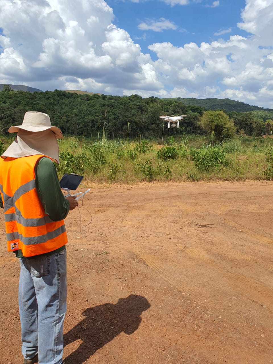
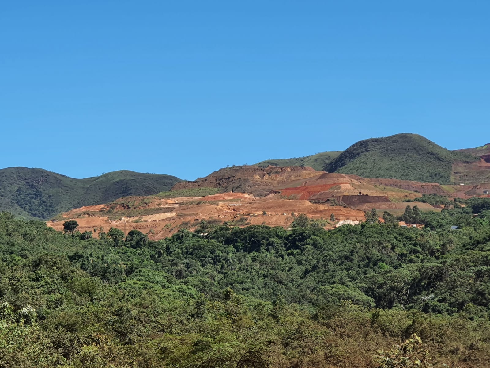
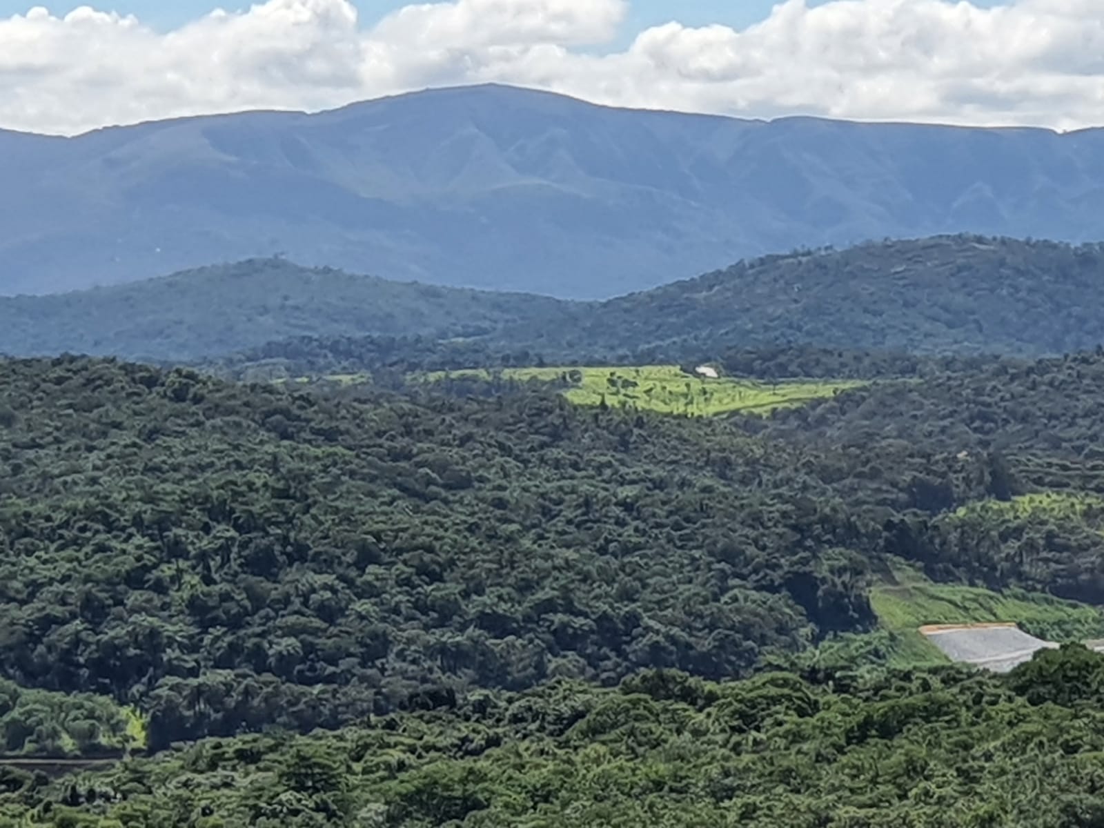
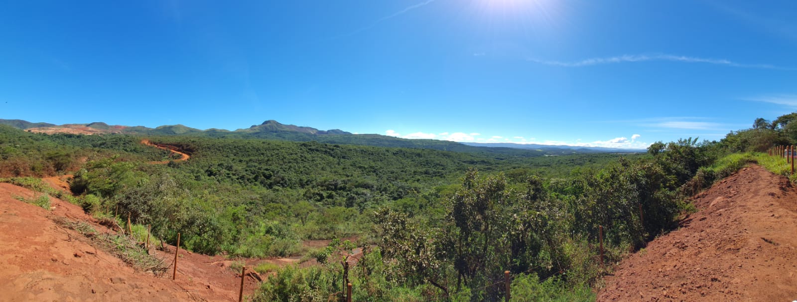
Source: Research team of Subproject 02 of the Brumadinho UFMG Project