Subproject 60
Productive Environmental Zoning - ZAP of the Sub-basins of Ribeirão Ferro - Carvão
The research aims to perform Productive Environmental Zoning ( ZAP ) of the Sub-basins of the Ribeirão - Ferro- Carvão, through the integrated analysis of the study of water demand and availability, the Conservation Use Potential (PUC) assessment and the mapping of land use and occupancy in the Coal Iron Creek basin. The research unfolds in the following actions:
- Perform the study of surface water demand and availability in the sub-basin of Ribeirão Ferro-Carvão;
- Calculate the Conservation Use Potential of the Iron-Carvão Brook sub-basin;
- Realize the mapping of land use and land cover based on the information produced in Public Call 02/2019 (Mapping of land use and land cover in Ferro-Carvão stream sub-basin, Brumadinho-MG);
- Map and calculate the conserved and anthropized areas in the sub-basin of Ribeirão Ferro-Carvão;
- Map and calculate the conserved and anthropized Areas of Permanent Preservation (hydric) in the sub-basin of Ribeirão Ferro-Carvão;
- Calculate the concentration index of springs in the sub-basin of Ribeirão Ferro Carvão;
- Promote the cross-referencing of information from land use mapping and the Conservation Use Potential and define the use conflicts in the area;
- Elaborate reports that contain integrated interpretations of the data obtained and elaborate notes of adequacy propositions for the basin;
- Propose an educational primer in accessible language with interpretations of ZAP's products for local communities.
Methodological Steps:
The methodology for the elaboration of the Productive Environmental Zoning (SEMAD, 2016), based on the proposal of Costa et al. (2017a). It will consist of the execution of three main steps , namely:
Stage 1-. Definition of the Conservation Use Potential of the sub-basins,
Stage 2- Diagnosis of the Water Availability of the sub-basins;
Stage 3 - Survey of Land Use and Land Occupancy in the sub-basins, as shown by the flowchart.
&
Meet the Team!
Subproject Timeline 60
"• Acquisition of database,
• Soil characterization
• Geological characterization,
• Compartmentation of the relief,
• Climatic characterization,
• Socioeconomic Characterization,
• Regional contextualization,
• Characterization of Vegeneration,
• Characterization of the drainage network,
• Soil reclassification
• Reclassification of slope
• Reclassification of geology
• Map Algebra
• Elaboration of PUC map insert
• SEMAD database request
• Spreading and correction of data
• Embedding data in a GIS environment
• Calculation of water availability by stretch
• Preparation of a water demand map insert
• Estimate of the concentration of springs
• Standardization of shapfiles
• Metadata creation
• Database structuring and availability
• Preparation of partial report for month 1"
"• SEMAD database request
• Spreading and correction of data
• Embedding data in a GIS environment
• Calculation of water availability by stretch
• Preparation of a water demand map insert
• Crossing the land use map with the app
• Identification of degraded pastures in land use mapping
• Standardization of shapfiles
• Metadata creation
• Database structuring and availability
• Preparation of partial report for month 2"
"• Acquisition of call database 2
• Crossing the land use map with the app
• Identification of degraded pastures in land use mapping
• Separation of anthropic and natural use classes
• Calculation of anthropic and natural use areas
• Calculation of anthropized app areas
• Crossing the land use map with PUC
• Identification of land use conflicts
• Standardization of shapfiles
• Metadata creation
• Database structuring and availability
• Preparation of partial report for month 3"
"• Soil reclassification
• Reclassification of slope
• Reclassification of geology
• Map Algebra
• Elaboration of the PUC map insert
• Crossing the land use map with the app
• Identification of degraded pastures in land use mapping
• Preparation of a summary table with the calculated indices for the basin
• Elaboration of PUC matrix
• Preparation of the Final Report
• Indication of adequacy actions in the basin
• Layout definition for booklet
• Creation of graphic pieces
• Preparation of informative content
• Pedagogical didactic analysis of the booklet
• Standardization of shapfiles
• Metadata creation
• Database structuring and availability"
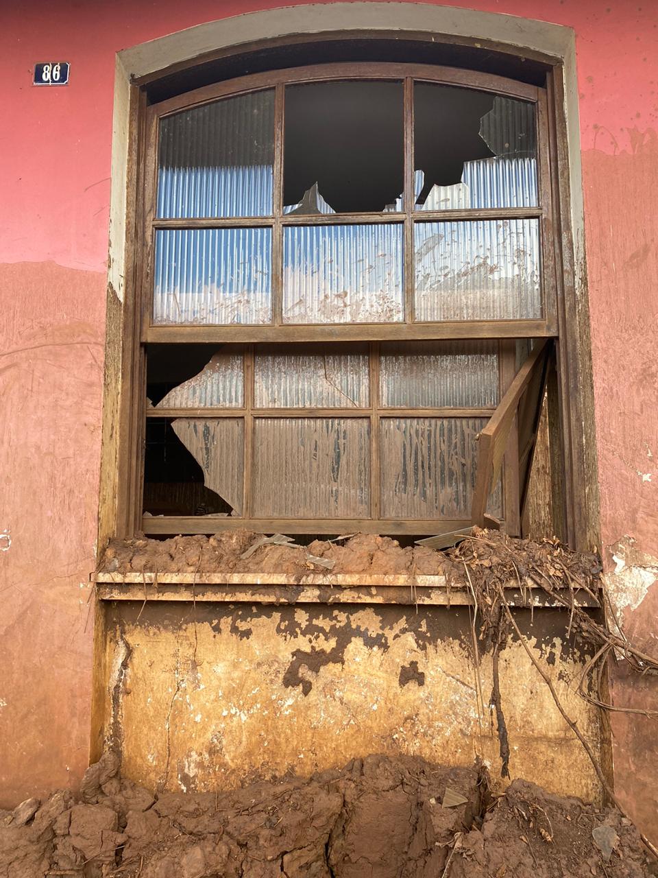
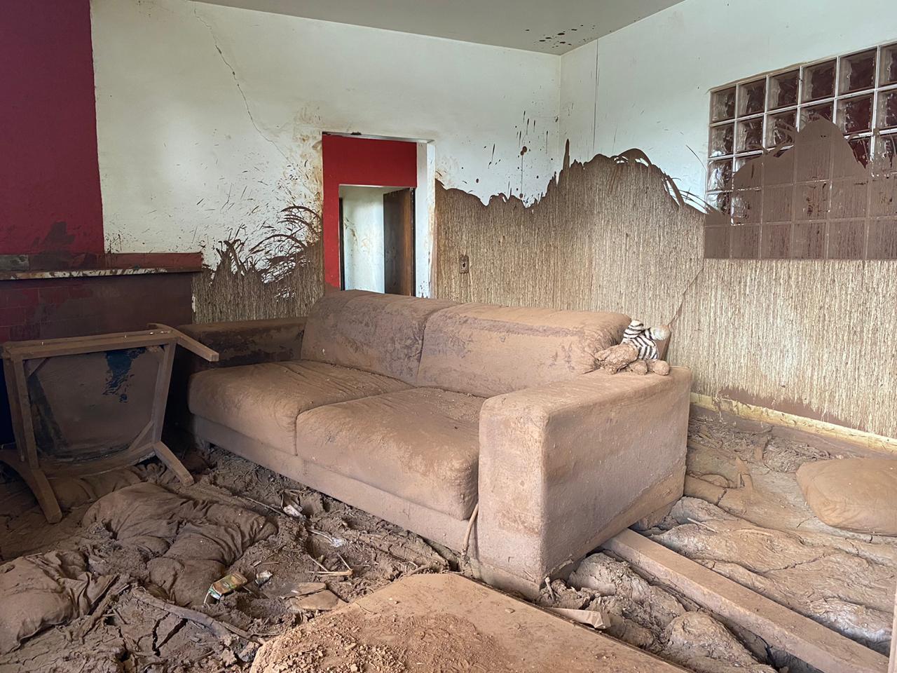
See photos of the subproject in the field
 Go to previous slide Go to next slide
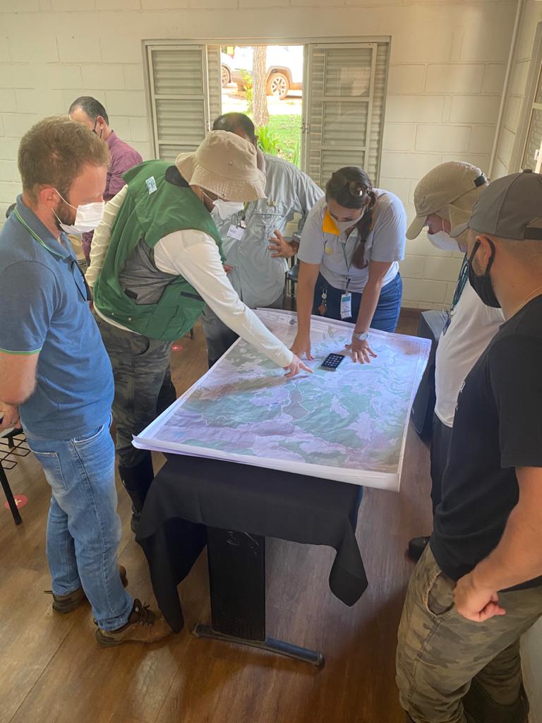 Go to previous slide Go to next slide
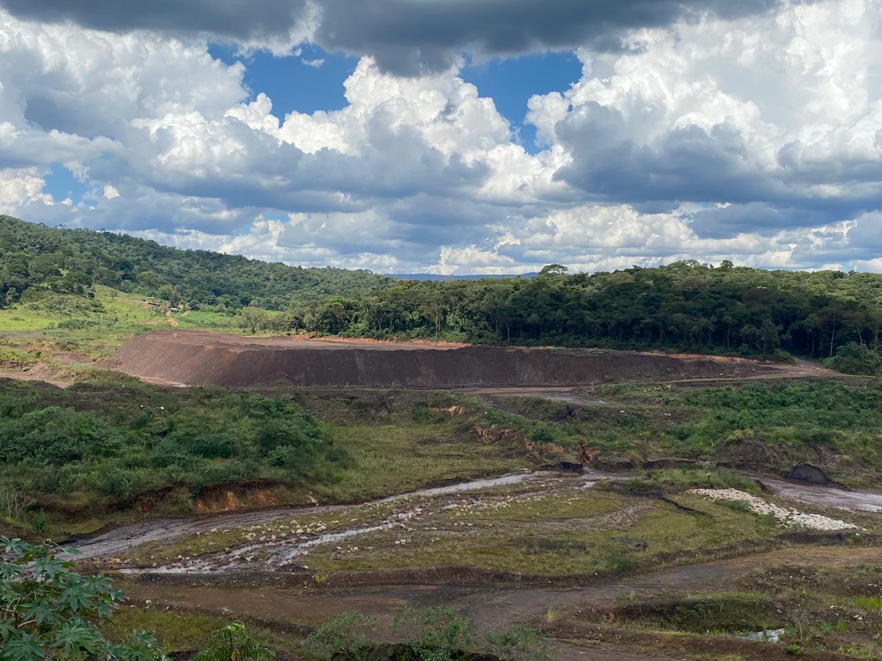 Go to previous slide Go to first slide
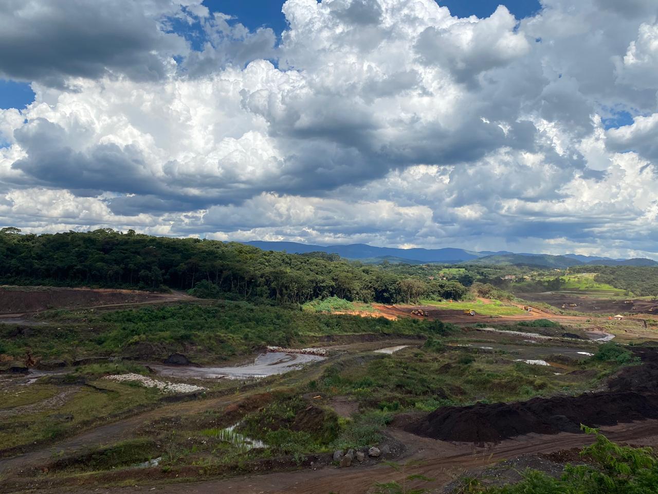 Go to previous slide Go to next slide
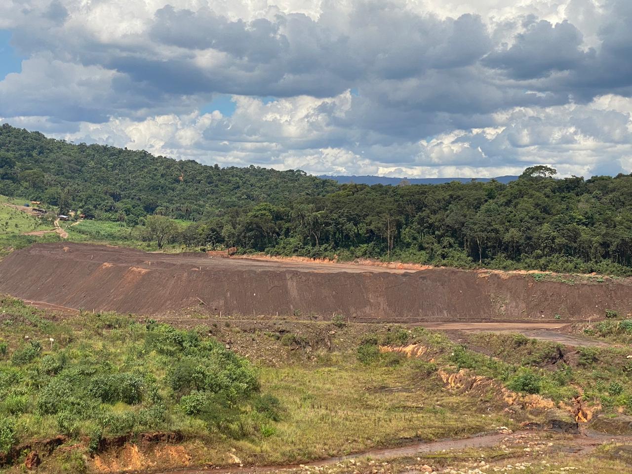 Go to previous slide Go to next slide
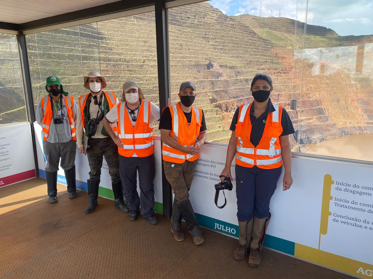 Go to previous slide Go to next slide
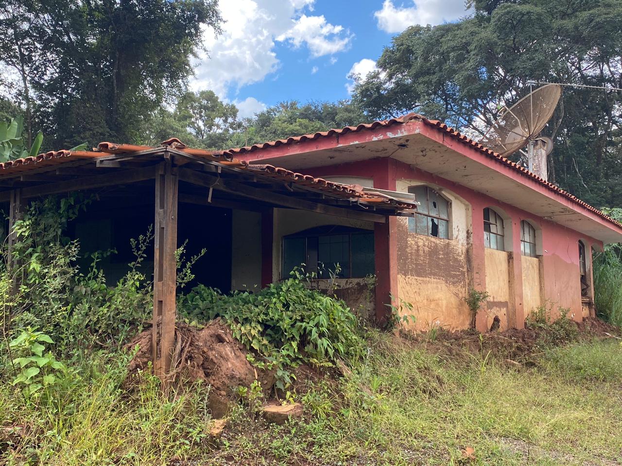 Go to previous slide Go to next slide
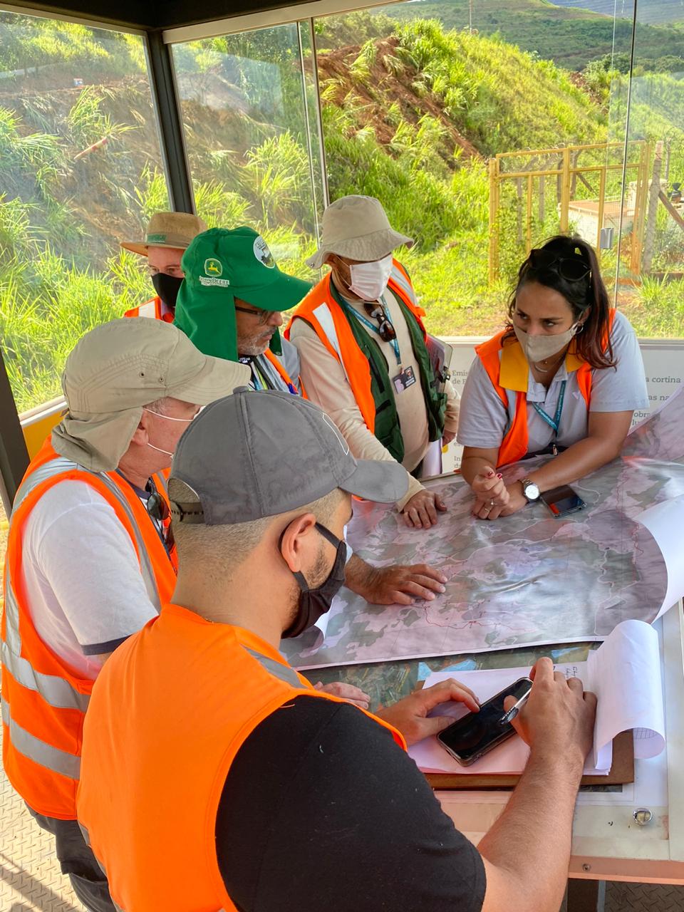 Go to previous slide Go to next slide
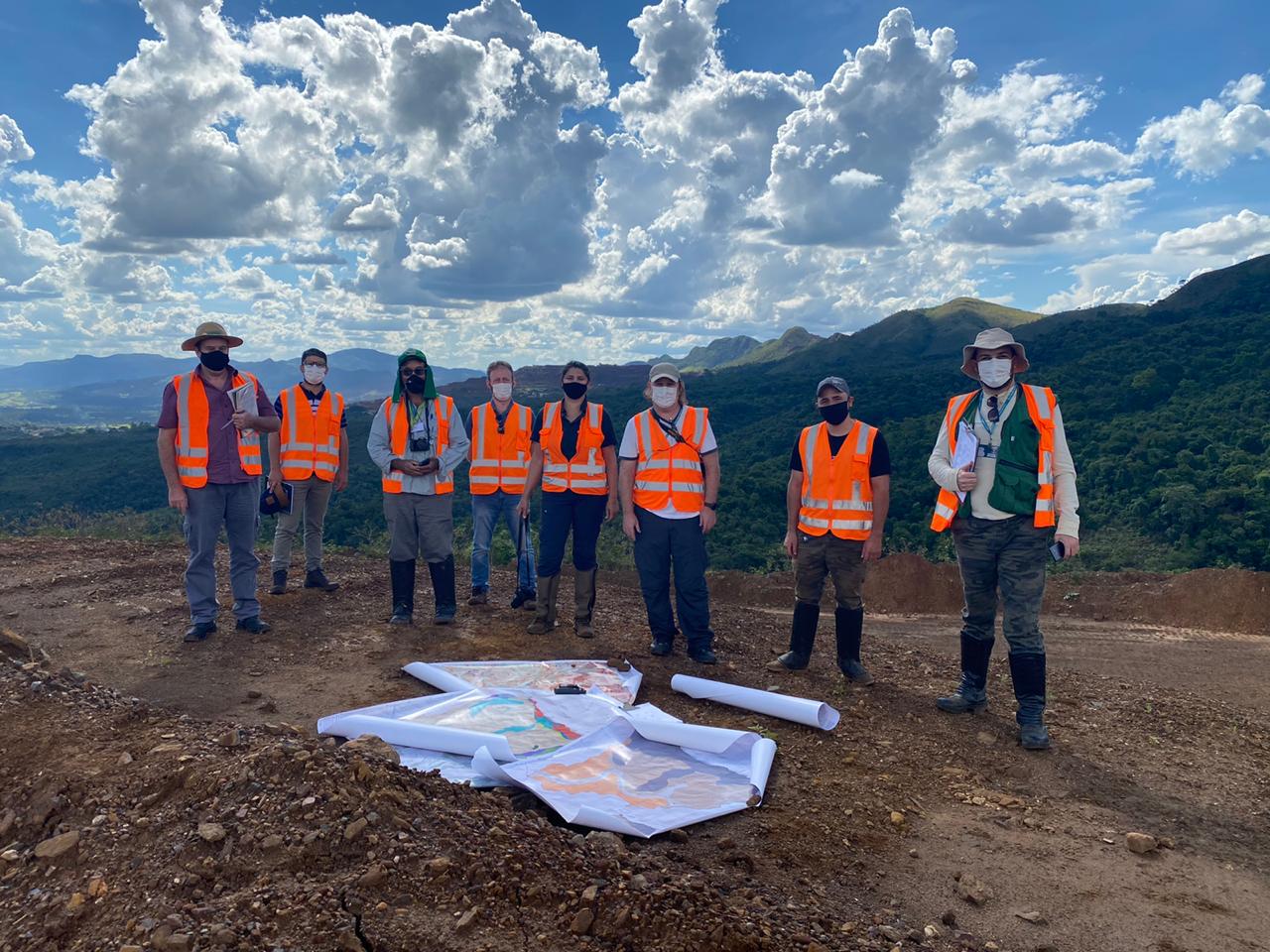 Go to previous slide Go to last slide
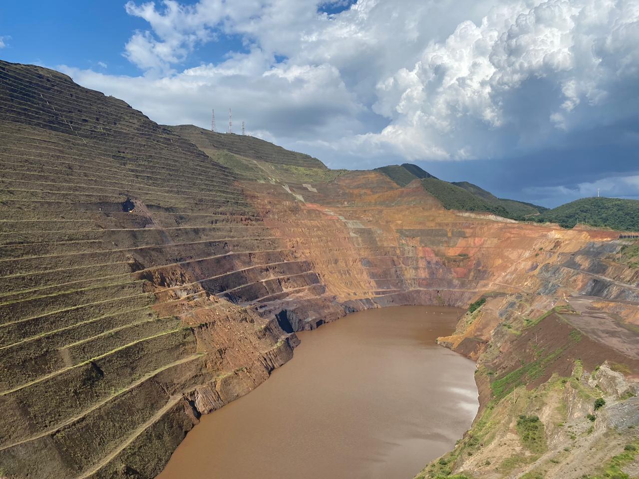 Go to previous slide Go to last slide
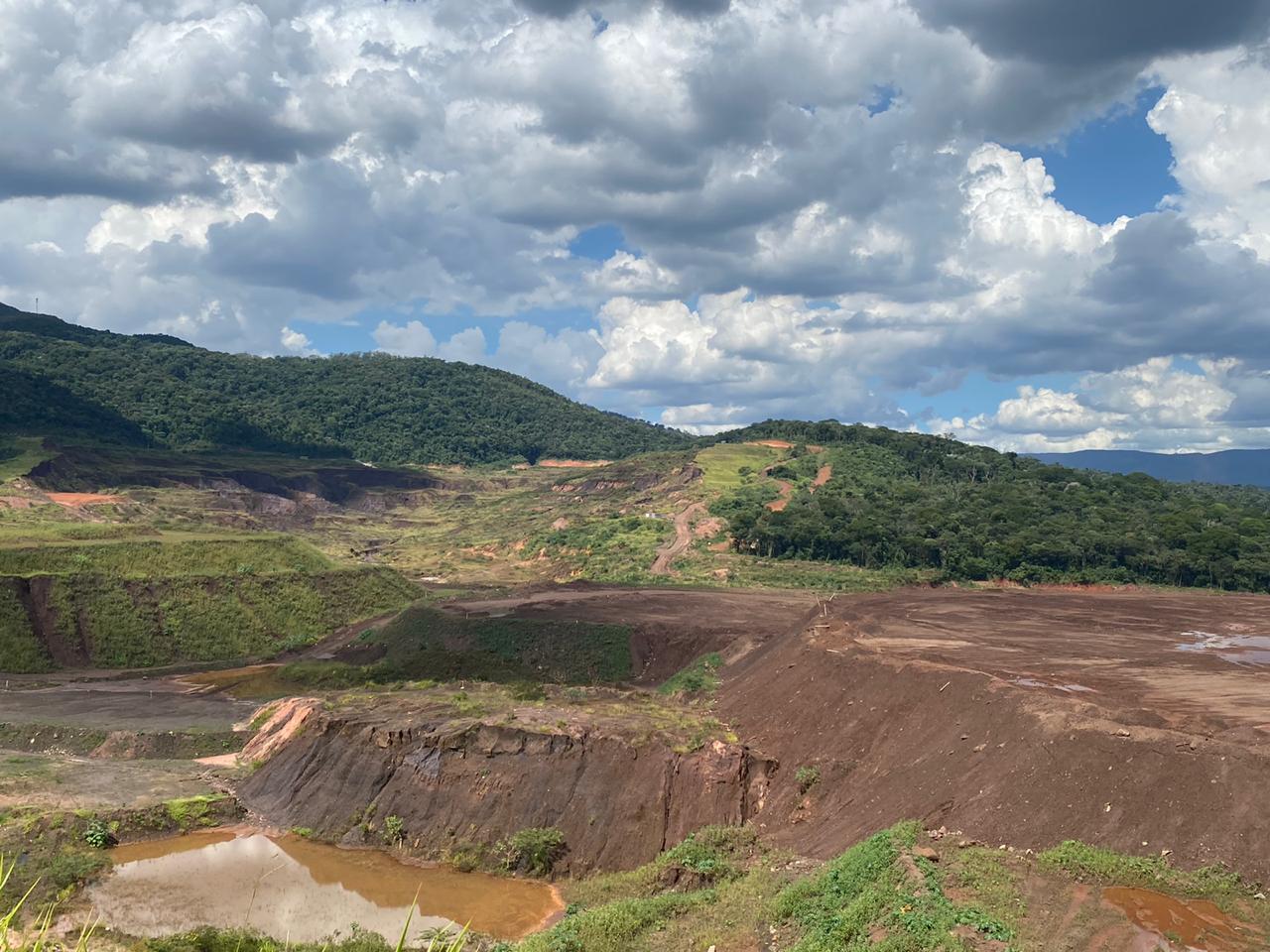 Go to previous slide Go to last slide
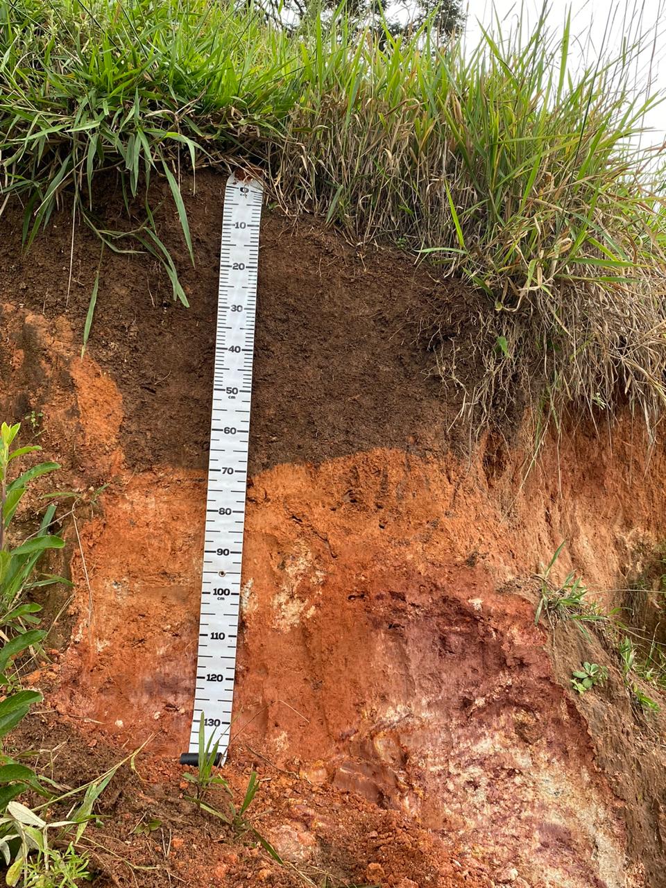
Monitoramento de campo - Fotos Adriana Monteiro Go to previous slide Go to last slide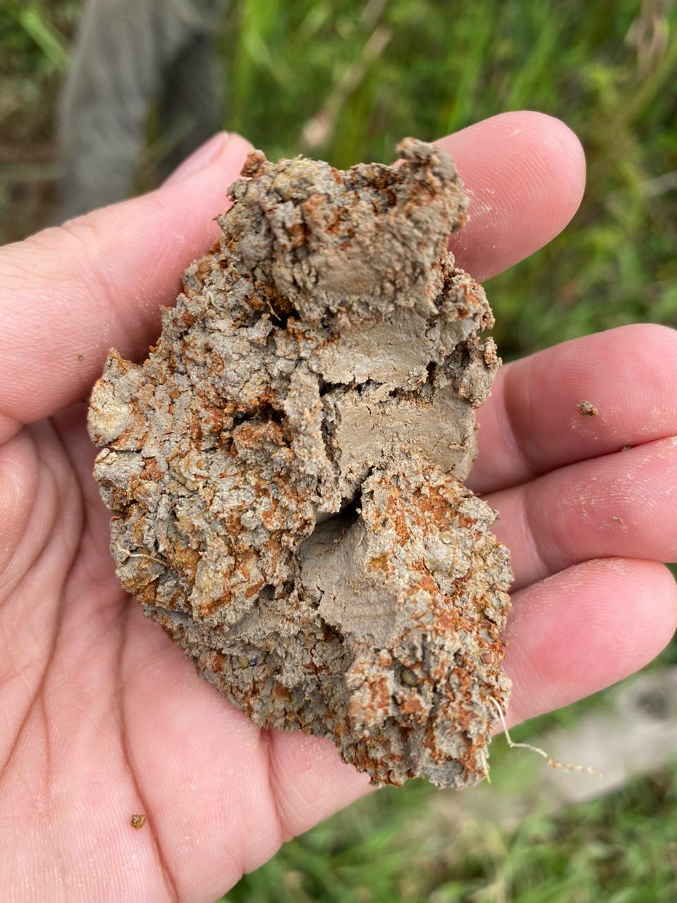
Monitoramento de campo - Fotos Adriana Monteiro Go to previous slide Go to last slideMonitoramento de campo - Fotos Adriana Monteiro Go to previous slide Go to last slide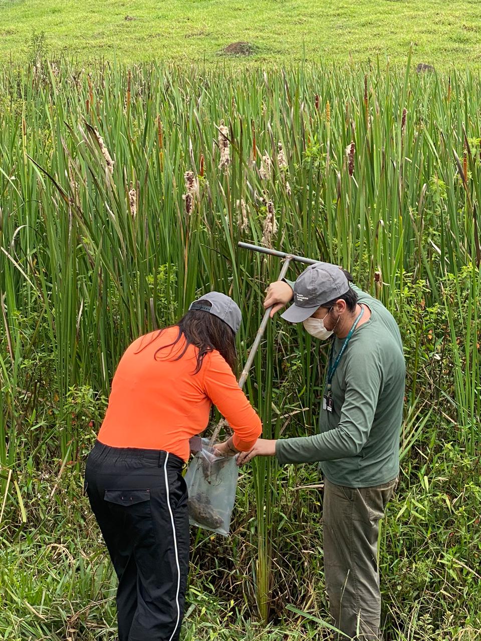
Monitoramento de campo - Fotos Adriana Monteiro Go to previous slide Go to last slideMonitoramento de campo - Fotos Adriana Monteiro Go to previous slide Go to last slide
Monitoramento de campo - Fotos Adriana Monteiro Go to previous slide Go to last slide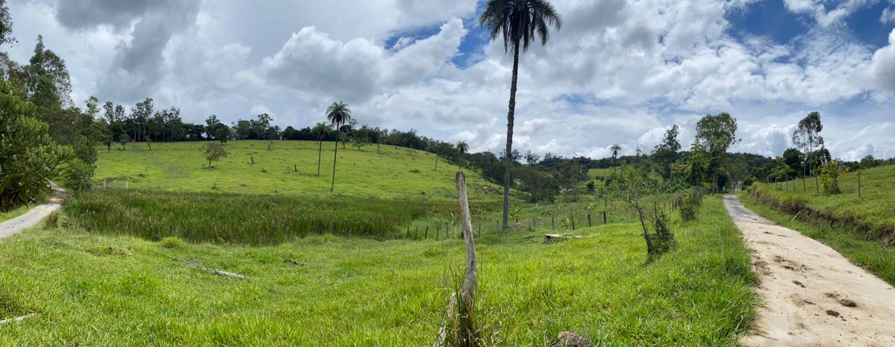
Monitoramento de campo - Fotos Adriana Monteiro Go to previous slide Go to last slide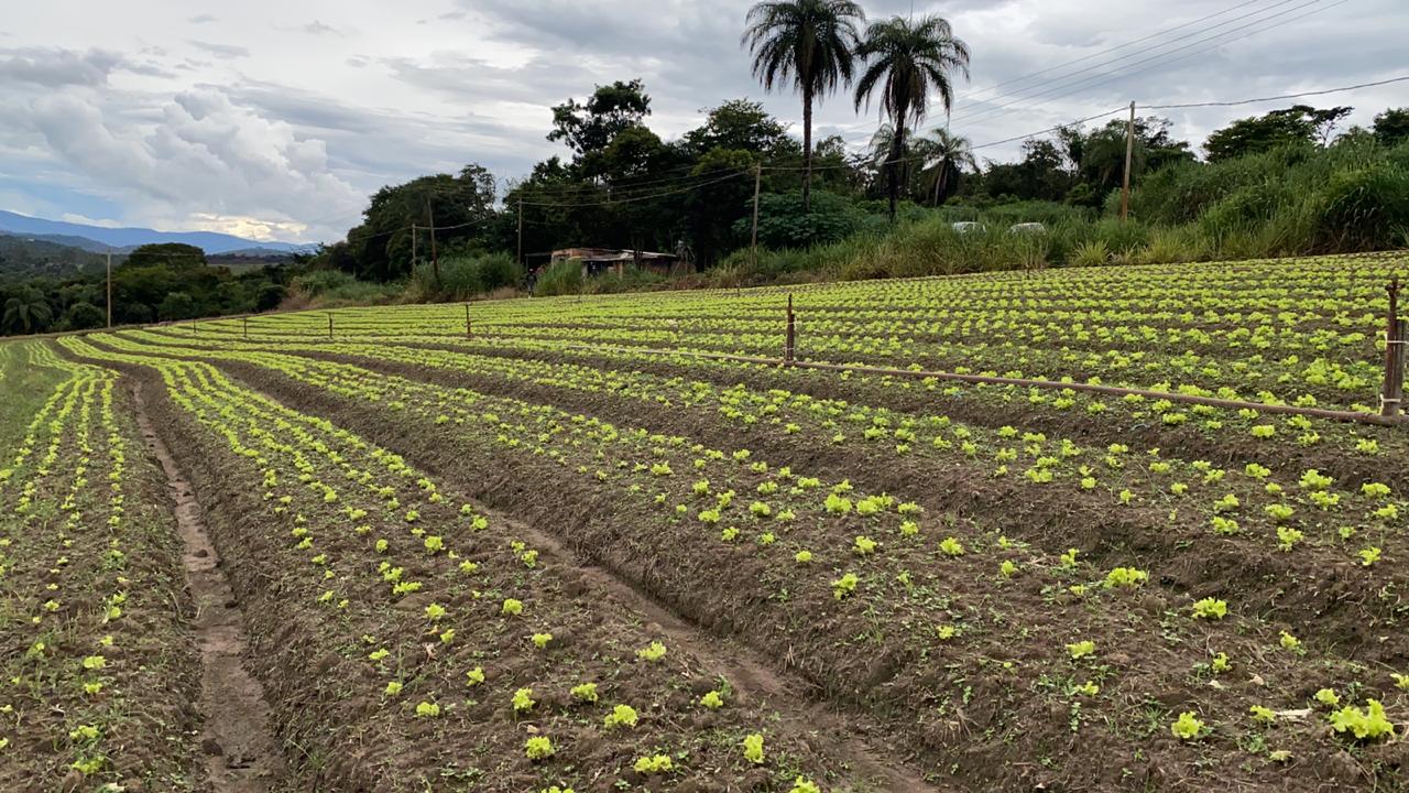
Monitoramento de campo - Fotos Adriana Monteiro Go to previous slide Go to last slide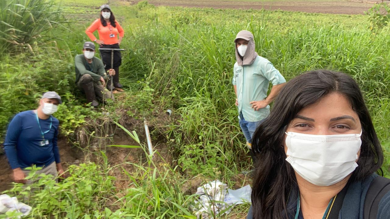
Monitoramento de campo - Fotos Adriana Monteiro Go to previous slide Go to last slide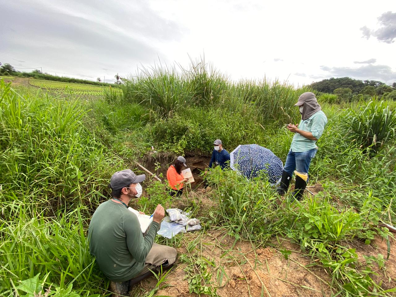
Monitoramento de campo - Fotos Adriana Monteiro Go to previous slide Go to last slide
Source: Research team of Subproject 60 of the Brumadinho UFMG Project